|
|
|
The society arranges outdoor field trips in the summer to various localities in the North East and further afield. Some of the field trips are led by volunteer members themselves. They take place almost always on Saturday or Sunday. Occasionally, subject to demand, longer excursions, e.g. to the Lake District are organised.
|
Then |
Now |
|
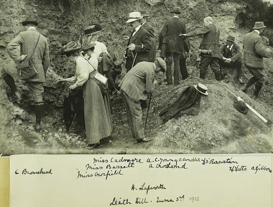
Geologists' Assoc.meeting |
A N.E.G.S. visit to Harbottle Crags, Northumberland in 2007.) |
|
2016 Field Trips (see more details of the following in
March 2016 Newsletter) May 1st Haltwhistle Burn (organised by Northumbria Branch OUGS. (Click here for details) Saturday 14th May FORGOTTEN
MINERALS" - A SERIES OF TALKS AND DISCUSSIONS. (organisers:Friends
of Killhope and Nenthead Mines
Conservation Society.) Saturday 21st of May Geological
Sites in Sunderland South (A joint meeting with the Natural History Society of
Northumbria) Leader: Dr Andy Lane Meeting time: 10.00 am Date: Sat 21st May
2016 Meeting place: Gorse Road Car Park, on Stockton Rd, close to St
George’s Church, and not far from Park Lane Metro station. The car park
is a pay parking on the left going into Sunderland, on a short stretch of
Stockton Road that is one way. Nearest Post Code: SR2 7DE Nat Grid: NZ396561 Saturday 30th July.
Quaternary Glaciation in the Cheviot Hills.
Leader Derek Teasdale 8th or 9th October Geology
of Holy Island. Leader: Louis Golightly Please contact
Field Programme Secretary Dr. Eric Johnson eric_w.johnson@btinternet.com
if anyone would
like to, or who knows of anyone who would be willing to lead a field trip in
2016. |
|
|
*****************************Field
Meetings Risk Assessment. Please read.*********************************
All field
meetings can have potential risks and these should be pointed out by the field
meeting leader at the beginning of the trip when all participants are assembled.Participants should have footwear and clothing
suitable for the weather and localities to be visited. A hard hat should be
worn if there is any danger of rock falls, e.g. when directly under a cliff.
Non-alcoholic drinks and some food should also be carried. Possible hazards are
adverse weather, rough and/or slippery ground, state of the tide when on the
foreshore, medical conditions which make it difficult to complete the walk or
part of the walk. If the participant has any doubts then he/she should inform
the leader beforehand. Always listen to the leader's instructions and do not
wander off on your own. Participants who are not members of N.E.G.S. attend
field meetings at their own risk.